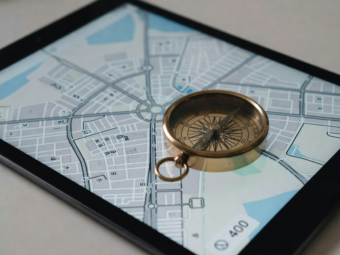
Most people associate digital navigation with streaming data. When you open a standard commercial map application, it downloads map tiles on the fly based on your current viewport. When you ask for directions, the app sends your location and destination to a server, which calculates the route and sends back the geometry. If the cell signal drops, the map goes blank and routing fails.
This is entirely unnecessary. The Global Positioning System (GPS) is a one-way radio broadcast from satellites in orbit. Your device only needs to receive these signals—not transmit anything back—to calculate its exact latitude and longitude. By pre-downloading map data, you can achieve world-class navigation without ever using a byte of cellular data.
Vector Data vs Raster Data
The secret to efficient offline mapping lies in vector data. Traditional digital maps (like satellite imagery) use raster data—essentially giant photographs broken down into tiles. Storing raster data for an entire country would take terabytes of space.
Vector maps, conversely, store mathematical representations of geography. A road is saved as a line with coordinates, rather than an image of a road. This allows map applications to render the visuals on the fly based on the mathematical data. Because it is purely text and math, the vector map of an entire state or small country can fit into just a few hundred megabytes, easily stored on any modern mobile device.
Top Offline Navigation Apps
For individuals building an offline-first toolkit, we highly recommend utilizing applications built on top of OpenStreetMap (OSM) data.
OSMAnd
OSMAnd (OpenStreetMap Automated Navigation Directions) is a powerhouse of offline navigation. It allows users to download complete vector maps for entire regions, complete with topographical contour lines, hillshades, and Wikipedia integration for points of interest. Most importantly, OSMAnd features a fully offline routing engine. It calculates driving, cycling, or hiking routes locally on your device's CPU. The learning curve is steep, and the interface is dense, but it offers unparalleled functionality off the grid.
Organic Maps
If OSMAnd is the rugged Swiss Army knife, Organic Maps is the sleek scalpel. It is an open-source, privacy-focused fork of Maps.me. It offers fast, fluid vector mapping and offline routing with a highly intuitive user interface. Organic Maps contains no trackers, requires no registration, and serves zero ads. It is the perfect daily driver for offline-first enthusiasts who want a clean, fast experience.
| Feature | OSMAnd | Organic Maps |
|---|---|---|
| Data Source | OpenStreetMap | OpenStreetMap |
| Offline Routing | Yes (Highly customizable) | Yes (Fast, standard) |
| Topographical Data | Yes (Contour lines/relief) | Basic terrain |
| Complexity | High (Steep learning curve) | Low (Very user friendly) |
Hardware Considerations
While smartphones are exceptional navigation tools, they have physical limitations. Cold temperatures destroy battery efficiency, and bright sunlight makes screens unreadable and forces processors to overheat.
For extreme off-grid scenarios, dedicated GPS receivers (like those produced by Garmin) are still vital. They feature transflective screens that use the sun's ambient light to illuminate the display, and they run on standard AA batteries, eliminating the need for complex charging arrays. When building a resilient navigation setup, pairing a smartphone loaded with vector maps alongside a dedicated hardware GPS receiver offers the perfect blend of rich data and rugged reliability.